Showing posts with label Book Cliffs. Show all posts

October 2, 2011

Thompson Springs

Less than a mile north of I-70 at the turnoff to the Sego ghost town and the Thompson Wash petroglyphs, lies the town of Thompson Springs.  The 2010 census shows less than 39 residents. 
A lot of the houses look like the one above, dilapidated and possibly deserted.
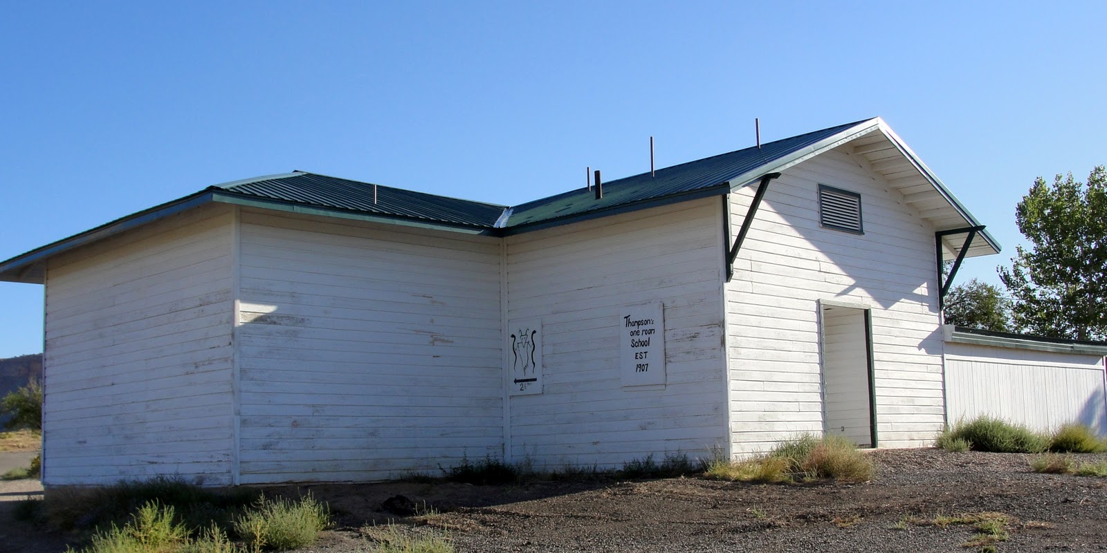
This white building gives us a taste of the town's history.
The sign in front tells the story.
The town was once important enough to merit a train stop at this station.
Parking is still available, but the old sign is overgrown with weeds.
This old building still has a sign for the Desert Moon Hotel.  Someone seems to be living there and maintaining the place, but I saw no evidence that the hotel is currently in business.  A gas station near the interstate is the only viable business we saw. 
The town was established in 1890 and its importance was boosted by the coal mine in Sego, now defunct.  Sadly, although it isn't quite a ghost town, Thompson doesn't seem to have much life left.

October 1, 2011

Thompson Wash

A few miles south of the Sego ghost town, we found another variety of ghosts left by ancient Native Americans in their rock art.  The site is known as Thompson Wash.
The above figures are in the Barrier style, dating from about 4000 years ago.  The pictographs (painted on the rock with red dye) show anthropomorphic figures that are often larger than a man.  They often have a ghostly look, and are shown with snake-like figures.
In the same area are other figures in the Fremont style, dating from about 1500 years ago:
Fremont anthropomorphic figures are triangular, often shown with shields and necklaces.
The historic Utes also left their art, which is about 800 years old:
Note that some of the human figure appear on horseback, which means the art dates from after Spanish conquistadors brought horses onto the continent in the late 1400's.
This panel shows a mixture of styles, with some historic Ute or Fremont figures, and some cowboy/miner/tourist art dating from the 1880's. 
It's illegal, not to mention a real shame, to deface the rare remnants of ancient cultures, but some people just can't seem to resist making their mark. 

September 30, 2011

Sego Ghost Town

At the Thompson Springs turnoff on I-70, travel about 5 miles north to what's left of an old coal mining town, now uninhabited.  The above photo shows what was once the company store, built in 1911.  Below is the inside view of the store:
Either the customers were very short, or a lot of dust has filled in the entryway.
About 500 people once lived in the immediate vicinity of the store. 
This was the old boarding house, across the road from the store.  The bachelor miners lived there.  The boarding house was still standing the last time we drove through, about 5 years ago, but it looked as if a big wind would take it down.  Apparently, the wind blew.
Founded as a mining camp in the early 1890's, the town was first called Ballard after the mine owner.  The mine was sold a couple of times, and the town changed names to Neslin, then Sego after the sego lily, the state flower.  I guess they were trying to buff their image with the new name.   
The Denver and Rio Grande Western Railroad ran a spur line to the mine to transport the coal.  Some of the trestles crossing the deep gullies have been washed away, but a few remain.
This may have been one of the nicer residences.
This home appears to have been less desirable.  One of the town's least prominent citizens must have lived there.
The mine was closed in 1947 and the property was sold at a Moab auction.  Probably due to a falling water table, no one rejuvenated the structures or re-opened the mine. 
The "town" now houses only ghosts. 
This grave has no name, but is adorned with a single plastic flower.
Among the dozen or so tombstones in the Sego cemetery, this one was the saddest.

September 29, 2011

Willow Creek Cabin

As we rode along west Willow Creek, nine miles from the nearest trailhead, we were surprised  to find an intact cabin.  Since it's unlikely that this area was ever accessible by road, this was probably a rancher's line cabin, used mostly in the summer season when the cows had good grass at 8500 feet. 
The cabin wasn't locked, so I went in. 
This chair appears to be handmade with willow branches.
The bed is hand hewn, too.  I assume a mattress of some kind was laid across the bare logs. 
The wood burning stove would keep the single room cozy. 
The cabinets are unique. 
They must have been scavenged from a military base somewhere, because the print says "Rocket ammunition with smoke (or explosive, in one case) projectile."
The outside is decorated with antlers and various tools. 
Someone (the Utah Division of Wildlife Resources that manages the land?) has recently repaired some of the outer logs and added a hitching post.  Buckets, a couple of coolers, and a cot indicate someone may have cleaned up the inside and slept there in the last few years, but otherwise the cabin stands much as it did when it was built.  We couldn't find any information about it on the internet, so I don't know the cabin's age.  Since it's in such good shape, it's likely no more than 50-75 years old. However, the occupant's lifestyle clearly wasn't much different from that of pioneers in the early 1800's. 
A couple of the windows were bear-proofed with an old iron bedstead.  Very practical use of materials, don't you agree? 
The rear of the cabin sports more antlers. 
The hitching post came in handy.  Daisy liked the view.

September 28, 2011

Roadless in the Books

The roadless area of the Book Cliffs encompasses about 100 square miles.  Sego is one of only a few trailheads leading into this vast wilderness. 
In the early 90's, with the mission of promoting wildlife habitat in the Book Cliffs, The Nature Conservancy and the Rocky Mountain Elk Foundation bought a chunk of land from four ranches that controlled the water sources and the BLM leases for this area (the east Tavaputs Plateau).  Those two groups then transferred ownership to the Utah Division of Wildlife Resources (UDWR), with certain requirements that natural habitat be maintained. 
Thus, this land is now protected from development.  Only hunters and the occasional hiker or horseback rider venture into it. Keeping the area roadless was controversial at first, but now hunting permits for the area are highly prized. No vehicles means more and healthier game, as it turns out. Duh. That doesn't seem so surprising, really.
Here is the view from the sandy trail (once a road) that travels along the top of Went Ridge, the first 1.5 miles of which travels through Ute Tribal Land.  After that, both sides of the ridge belong to the UDWR.  We rode a game trail that leads west into the west Willow Creek drainage.  On the way down, we heard a bull elk bugle and caught a glimpse of his huge rack, just before he and his herd of elk cows melted into the aspen. 
At the bottom of the hill, we went right past an old camp with evidence that hunters had found some big game.
  The horses and Daisy enjoyed the water in Willow Creek. 
A (ferruginous?) hawk soared overhead.
Grass was chest high on Mischief in many places.  Daisy sometimes disappeared completely.
In one spot, the trail led through two generations of fences.  The newer one up front has a metal gate and fence rails put together with a drill bit and rebar.  The older gate and fence are made of poles tied together with wire. 
About 9 miles from the trailhead, we came across the old cabin you can see in the distance.  We went closer to explore, but those photos will have to wait for my next post.

September 27, 2011

Sunrise, Sunset

We just returned from two nights in the Book Cliffs.  My favorite part was dawn lighting up the canyons. 
Second best was seeing those last glowing embers of sunset. 
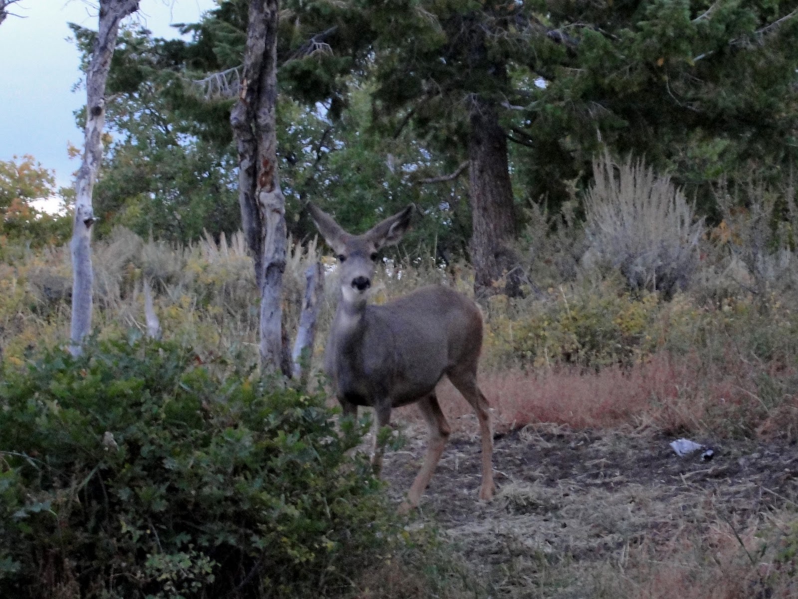
This doe visited the camp one morning. 
And a buck stopped by the next morning. We loved seeing the deer, but I hope they are a little more discreet when deer hunting season starts in a few weeks.
Boss was alert to these strangers in camp.  Mischief wasn't at all concerned.
More on the rides and sights in future posts...

November 23, 2010

Cold Spring Mustangs

Several of you asked about sightings of wild horses on Wild Horse Bench.  We didn't see any there, but we saw the mustang herd pictured above in 2005, on the other side of the Green River in the Book Cliffs (about 20 miles distant, as the crow flies).  We reached Cold Springs by driving through Nine Mile Canyon to Cottonwood Canyon, then traveling some obscure dirt roads to a plateau. 
We hiked to the spring and saw the horses as we were returning to our truck.  Their curiosity held them long enough for a couple of photos before they took off. 
Here is a map of the Cold Springs, Utah, area, which was recently acquired by the Division of Wildlife Resources (DWR):
It's remote and beautiful wild country.  Definitely worth the trip. 

LinkWithin

Blog Widget by LinkWithin