 We were up with the first glow of dawn to let the horses off the highline so they could graze for an hour before we saddled them.
 The circumnavigation of Currant Creek Peak (10,500 ft) was our morning's goal. Here's the peak, which has communication gear up top:
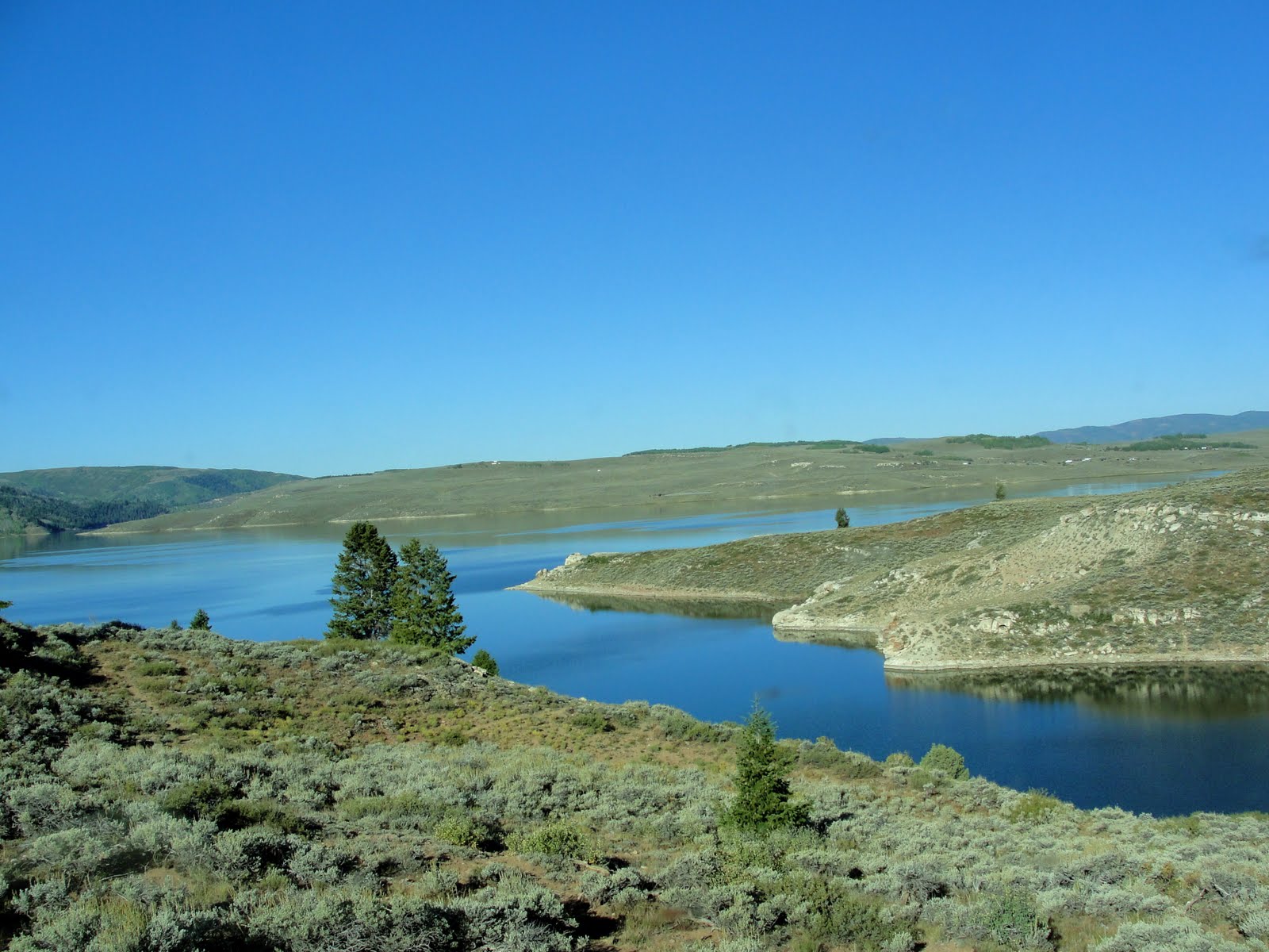
 We have walked to the top, but the final 100 yards is too steep and rocky to ride.
From the west shoulder of the peak, we had a view of Strawberry Reservoir, with the patchwork fall colors stretching below us:
 To the west, the Wasatch Range loomed above the horizon:
 Cows grazed on a hillside:
 As we circled the peak, holding an altitude of about 10,000 feet, we went through several fences put up by grazing permitees. Steve is in charge of opening the gaps. :) Most of the fences are decent and have gaps along the trails that are easy to open and close. This one was a little disreputable:
 Steve did his best to close it after we passed through, but really, was there any point? The fence sagged to about 2 feet high. While Steve struggled to do as the sign asked, the horses grazed and I snapped a photo of a pile of barbed wire the fence-builders had left. It's a hazard, to say the least:
 We returned to the trailer:
 but decided noon was way too early to go home on such a beautiful day. With so many mountains and valleys to explore, how could we resist another few hours of riding?


.JPG)


 From there, we rode down the nearby Horse Ridge. We had nice views toward Gray Head Peak, an area we have ridden a lot:


