


On the ridge, this meadow was left untouched. By next spring, tall, thick grass and colorful wildflowers will grown amidst the blackened trunks. Phoenix rises from the ashes, life from death.
 We've ridden to Grayhead Peak (9500 feet - shown above) before, but we've never ridden the ridges over to Grayhead benchmark, about 50 feet higher and 2.5 miles to the northeast as the crow flies.
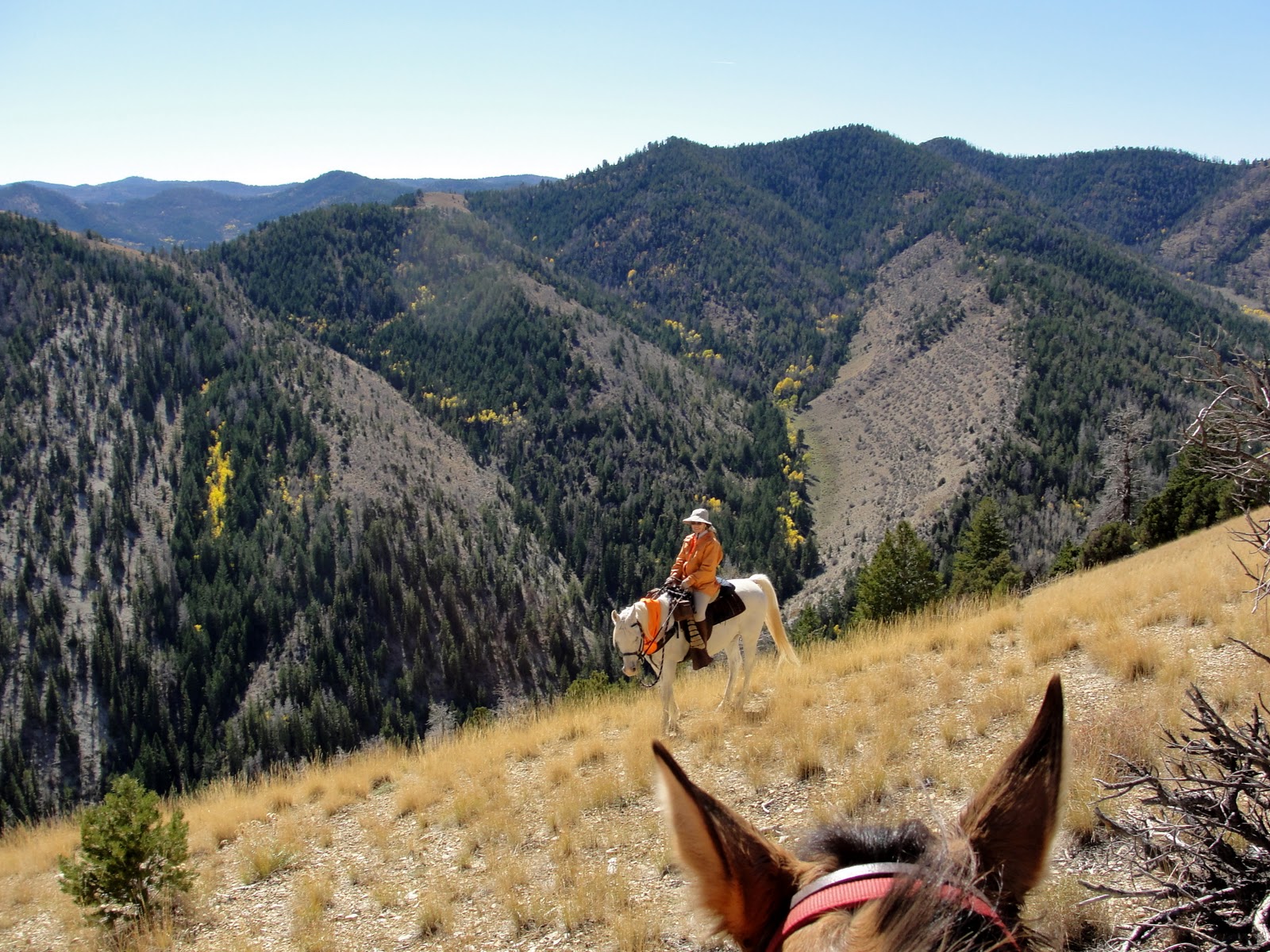
  This time, we follow faint game trails over hill and dale, literally, to reach the benchmark. Mischief and I head uphill in the photo above. If you enlarge, you should be able to see the arrows I've used to show our "trail."
 We keep going up:
 And up:
 Until we finally reach the top, catching up with Steve, Boss, and Daisy:
 Daisy is traveling with us again, now that she's made a complete recovery from being stepped on a couple of weeks ago.
  Since there were no creeks or springs on this ride, I rigged a drinking bowl and gave her some of my water. The horses can wait longer between drinks. Even though they went a total of 14 miles and 3800 feet elevation gain and loss, they did fine without water.
  Boards and nails indicate a fallen structure next to the benchmark:
 We guess that it is the remains of a platform or tripod for a heliograph, a communication device featuring a mirror for simple Morse Code type messages. A heliograph may have been used by USGS surveyors long ago when the benchmark was placed, or perhaps by the Forest Service for communication between rangers.
  On our way down, we stop on one of the remote ridges. There is no trail whatsoever, but we happen to spy this forest service sign almost obscured by a tree branch:
 Up close, it indicates the way to a canyon, but who would ever see this sign?
  Not many people travel off trail, as we do. I doubt anyone else has seen the sign, or found their way to Wilbur Canyon, in quite a few years. Hmm, maybe we should go there on our next ride...
 the Wasatch Range, about 40 miles to the west:
 and south toward the Price River valley and off toward vast basin and range country:
 From there, we rode down the nearby Horse Ridge. We had nice views toward Gray Head Peak, an area we have ridden a lot:
 A few aspen leaves had gotten the fall memo and were beginning to change.
  Some of the berry bushes were cooperating by putting on their fall colors:
 We had GPS readings for 3 springs (hoping to find water for the animals in this dry country). Yogi and his fellow Geocachers might think of this as playing their game. But we failed! We went to the coordinates, and searched all around. One place had some old pipes, indicating the spring had been tanked at one time, but it's dry now. The other two places didn't look at all likely:
 Strangely enough, the one spring that we did find, by following cow and game trails, was not on the map in its actual location. There was a spring shown in the next drainage over... Maybe the "spring" designation was misplaced, not totally missing.
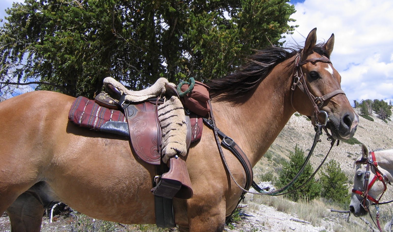 The Boss is back.
  This was our first ride with Boss and Coco. They got along fine.
  We rode up an Indian Canyon trail for some excellent mountain views.
 On a windy, rocky ridgetop, we stopped at a small grove of Great Basin bristlecone pines.
 Sometimes, through no fault of her own (if you don't count rolling in the dirt), a girl gets somewhat soiled.
 But can't you tell she's wanting, willing, waiting to be clean? Look at her sniff the air. She's hoping to smell a bubble bath. (or maybe an elk, but we'll give her the benefit of the doubt.)
 As soon as she spies a nice spring-fed water trough, she's in!
 There's nothing like a cool swim to make your day, especially if you're a lab.
 When I saw these two trees, of approximately the same age, growing close together on a ridge, I was reminded of the Simon and Garfunkel song, "Old Friends".
 They've seen a lot of things change as they hung out together, admiring the view.
 But fortunately for them, in this remote location,
 a lot has remained exactly the same.
 Okay, we know these guys love a PBJ sandwich. (Photo from last November)
 But who would've guess that this little guy (photo taken yesterday) would be enamored of the same lunch choice?
 I don't know what kind of bug this is, but he's kind of cute, don't you think? And he has good taste in food.
 We hike the Mill Hollow trail in Indian Canyon. The bunch grass is turning green.
 A few butterflies are out.
 Bears walk the trail again, and leaving sure evidence behind.
 An elk stopped on the hill to have a look at us before she ran off to join the rest of the herd.
 The wind gusts to about 40 mph. This big old pinyon pine has been shaped by many years of wind.
 Along the lower part of the trail, about 7600 feet, golden currants bloom.
 Aspen leaf out along low hills and the creek.
 We see Oregon Grapes with yellow buds.

