Showing posts with label hikes. Show all posts

July 20, 2015

Exercise Run

One of our sons wanted a real hike during his visit.  Here he is climbing above the city on the Cherry Canyon Trail.
We cheated and rode our horses for the 4400 feet of altitude gain.
The wildflowers were spectacular.
We rode/hiked all the way to just below the rocky cliffs of Lone Peak.   
On another day, we rode in Box Elder canyon in the Stansbury Mountains and found this little gem.
It's a tiny columbine, called a Shooting Star Columbine, Aquilegia elegantula.  We had never seen one growing in the wild before. Nature is a wonder, always providing something new.

October 29, 2014

Mesa Verde

Mesa Verde National Park features large and well preserved cliff dwellings, such as Spruce Tree House, above. These dwellings were constructed in about 1200 AD.  All of the dwellings in the area were deserted between 1280 and 1300 A.D.  No one knows why for sure, but a widespread drought about that time was probably at least part of the reason that these ancient people moved on.
There are several kivas, which may have been used as gathering places for social or sacred functions.
Note the T-shape (larger on top than on the bottom) of some of the doorways.  These may have been designed to allow entry for someone carrying a large load, or perhaps they marked shared or sacred rooms.
We also saw the Cliff Palace from a distance.  It's larger than Spruce Tree House.  We would have enjoyed exploring it, but we were running out of daylight.
The Mesa Verde Museum, located at the beginning of Spruce Tree House trail, contains an amazing collection of pottery found in the area.  This large vessel was filled with corn kernels when found in a cave nearby, and topped with the lid shown to the left.
Here's the sign displayed with the corn exhibit.
There are numerous glass cases of pottery.  I like the double mugs,
and the duck and the 3 lobed pot,
the ladles,
as well as the colorful pot and the deer/mountain sheep design. 

October 28, 2014

Southwest Colorado: Canyons of the Ancients

We continued our exploration of the Four Corners region in Southwest Colorado's Canyons of the Ancients National Monument.
Can you see the tower in the middle of the photo?  That's the Painted Hand pueblo, dating from about 1200 AD.
Here is the tower in a closer view.
Several dwellings existed in this area, as well as the tower, which may have served as an advanced lookout for the nearby Hovenweap village.
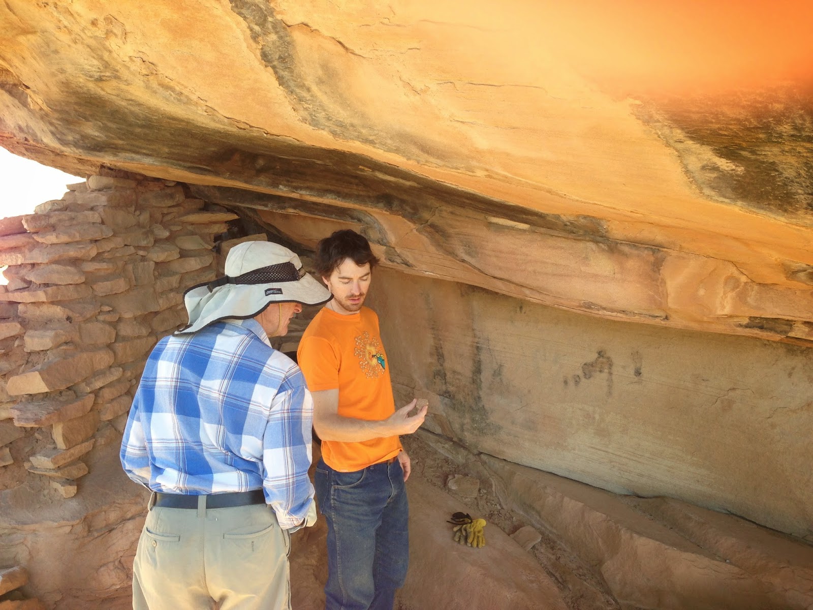
A room whose walls have mostly fallen is located under the castle.
My intrepid explorers found a pattery shard with a basket weave motif.
Faint painted hands still exist there.  The pictographs are faded, but you may see the faint outline.

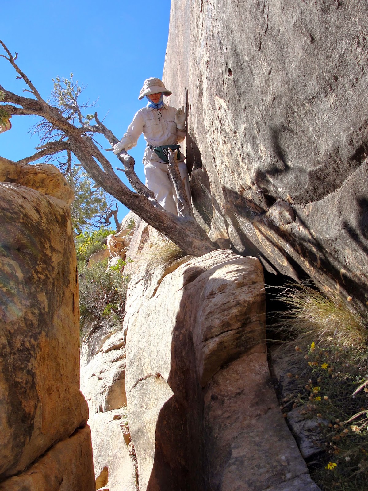
We also hiked the Sand Canyon trail.  The sandstone formations above are along the trail.
The ruins along the trail blend in with the sandstone walls.
Up close, we had a better view.
Perhaps the most interesting sighting was a cave that we spotted from the trail.  The cave was across a deep canyon, too far for us to reach in our limited time, and probably not accessible by any trail.
With binoculars, we were able to see a pueblo inside.

October 27, 2014

Southern Utah Tour: The Spur

The Spur is series of sandstone fingers that loom to the west of the Green River.  This rugged land has magnificent views of the LaSal Mountains and red sandstone formations.
Rugged Desert Hikers
Desert Daisy
Happy Desert Daisy
Intrepid explorers
We checked out the deep canyons 
and tortured sandstone landscape, 
Steve's mini Delicate Arch
Desert Sea Lion
the unusual formations,

and some jasper chippings that may have remained from an attempt to make arrowheads or other tools. 
A few wildflowers bloomed, even in early October.  A purple aster sported a fine-looking caterpillar.
We were fortunate to have perfect fall weather for the hike and the scenery.

October 26, 2014

Southern Utah Tour: Lewis Lodge

The ancient ruins of Lewis Lodge are unique and well worth seeing, even if the approach is a bit dicey.  The red arrows drawn near the center of the above view (click to enlarge) show the level where the ruins are found.  The ruins are to the right, along that level. Note the sheer 1000 ft drop from that narrow level to the canyon below.
Steve said the trek is like following a sidewalk.  The only problem is that the "sidewalk" is 6 inches wide with instant death below.  We were very careful.  Daisy had better sense. She refused to follow, and stayed behind whining for us the whole time we explored.
Walking around the toe of the horseshoe shaped canyon was the easy part.
Getting closer.
Does my smile look a little terrified?
I peeked inside the ruins, but didn't go much farther.
Steve and son took a few steps along the sheer cliff to get inside the kiva.
A few pottery shards and tiny corn cobs remain.
A view from the inside shows the scary drop-off.
The forest service provides an information sheet in a steel box, and a book for visitors to sign.
The round trip hike from our parking spot was about 6 miles.  Daisy flopped as soon as she saw the truck. She was exhausted, probably more from the mental anguish of watching her human friends do stupid stuff than from the actual hike!

LinkWithin

Blog Widget by LinkWithin