 We've ridden to Grayhead Peak (9500 feet - shown above) before, but we've never ridden the ridges over to Grayhead benchmark, about 50 feet higher and 2.5 miles to the northeast as the crow flies.
  This time, we follow faint game trails over hill and dale, literally, to reach the benchmark. Mischief and I head uphill in the photo above. If you enlarge, you should be able to see the arrows I've used to show our "trail."
Below is a view of the trail from Google Earth:
 We keep going up:
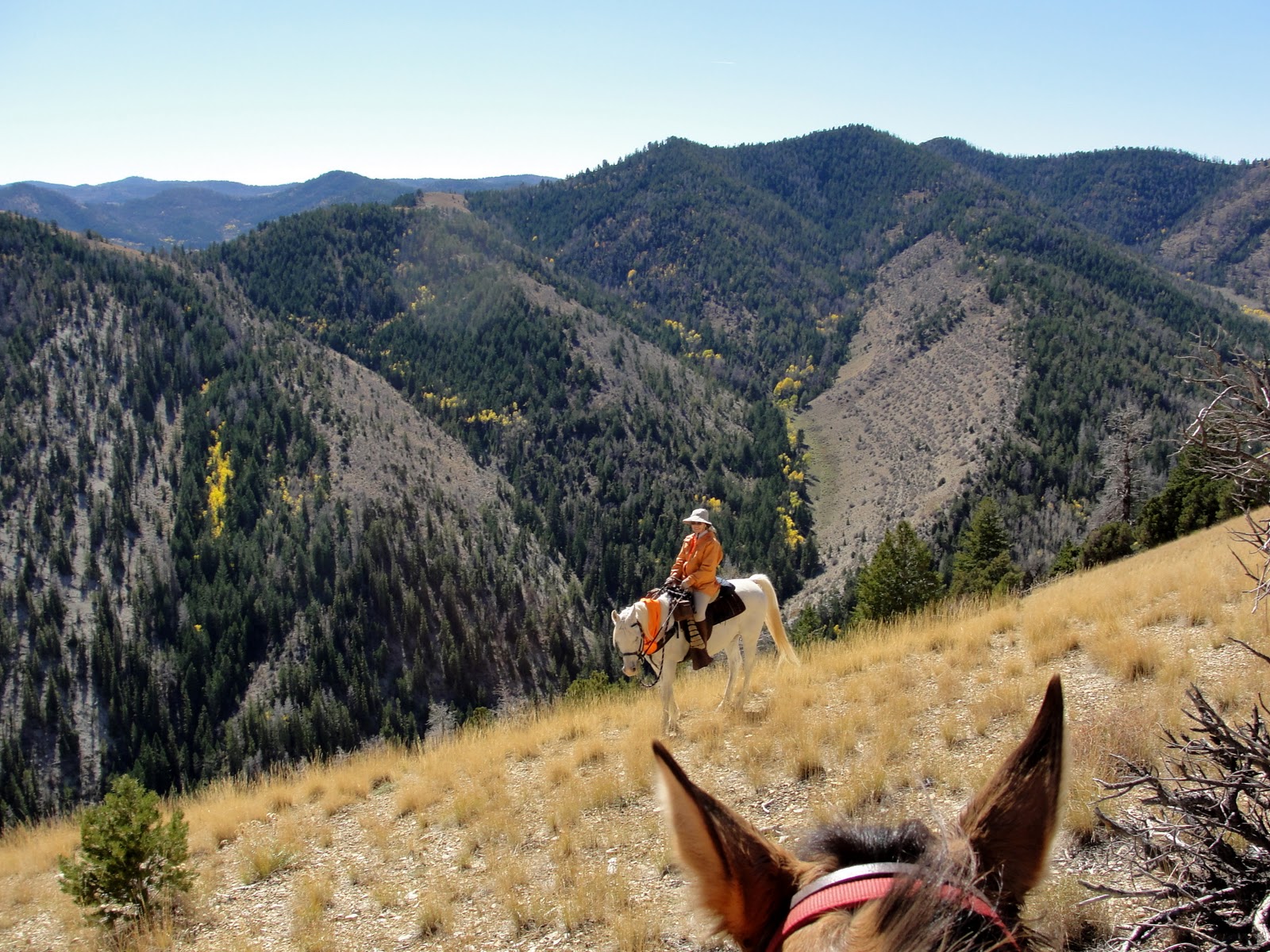 And up:
 Until we finally reach the top, catching up with Steve, Boss, and Daisy:
 Daisy is traveling with us again, now that she's made a complete recovery from being stepped on a couple of weeks ago.
  Since there were no creeks or springs on this ride, I rigged a drinking bowl and gave her some of my water. The horses can wait longer between drinks. Even though they went a total of 14 miles and 3800 feet elevation gain and loss, they did fine without water.
  Boards and nails indicate a fallen structure next to the benchmark:
 We guess that it is the remains of a platform or tripod for a heliograph, a communication device featuring a mirror for simple Morse Code type messages. A heliograph may have been used by USGS surveyors long ago when the benchmark was placed, or perhaps by the Forest Service for communication between rangers.
  On our way down, we stop on one of the remote ridges. There is no trail whatsoever, but we happen to spy this forest service sign almost obscured by a tree branch:
 Up close, it indicates the way to a canyon, but who would ever see this sign?
  Not many people travel off trail, as we do. I doubt anyone else has seen the sign, or found their way to Wilbur Canyon, in quite a few years. Hmm, maybe we should go there on our next ride...


