On our way back from Yellowstone National Park, we noticed a point on the map labeled "the summit of the original South Pass."
Intrigued, we took an unmarked gravel road, which turned into a rarely used 2-track, to the site, marked with the faded sign shown above.
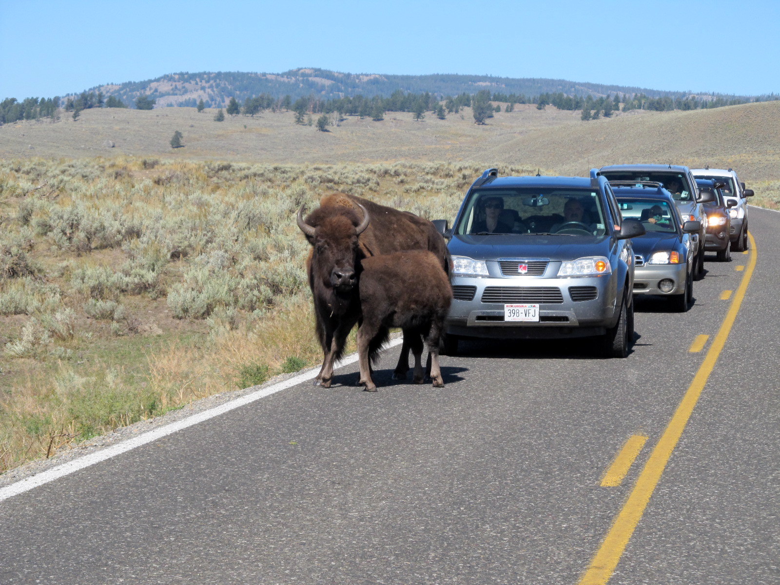
While traveling down the road, we saw several sage grouse, which blended into the environment very well, but didn't seem at all wary. The pioneers called them "prairie chickens". These birds, about the size of a small domestic chicken, could easily have been hunted by the children of the group as the wagon trains passed through. A grouse a day per family would have added considerably to the meager trail fare.
This 3 way marker was labeled Mormon, California, and Oregon Trails on 3 sides, marking the path that all 3 groups traveled. The state of Wyoming has reconstructed a mining town at what is named South Pass City, about 20 miles due north, which attracts tourists. Sadly, and surprisingly, this actual South Pass summit, the trail taken by about 400,000 souls traveling west in the mid-1800's, has very few visitors in modern times.
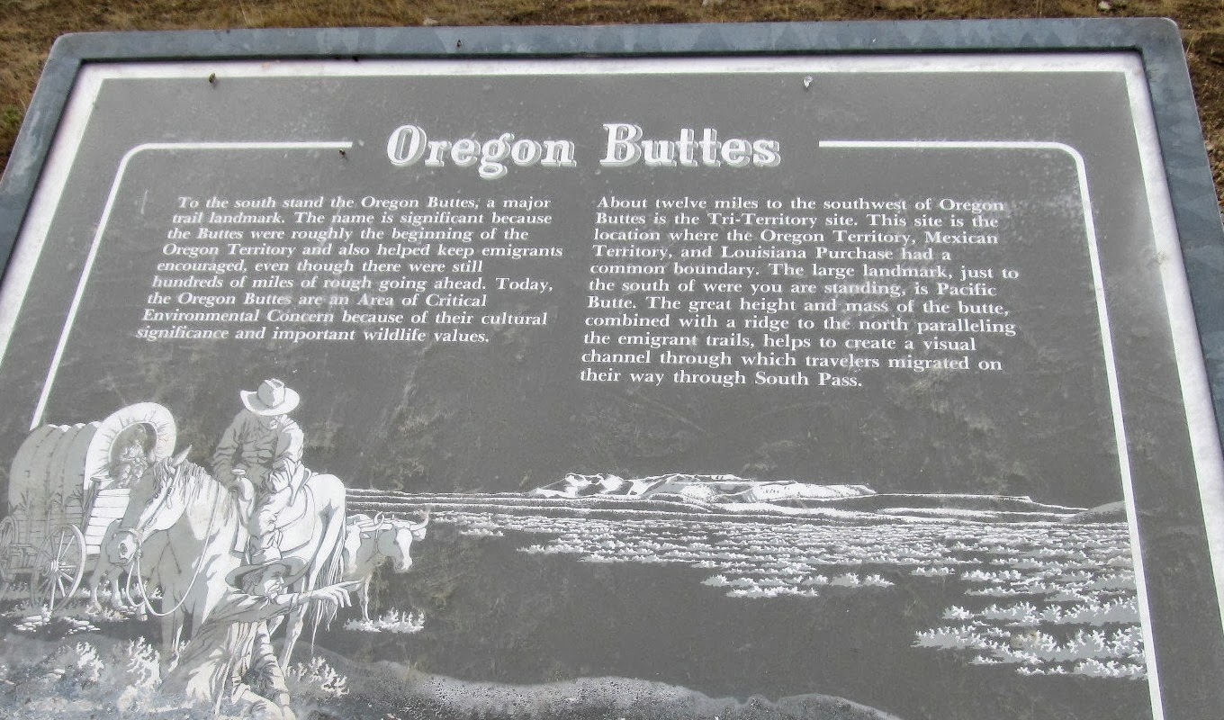
Another faded marker shows the Oregon Buttes. This landmark can be seen directly above the sign and is visible for many miles, a compass for weary travelers.
Back on the paved road, we found a few more tributes to those who traveled west.
Lander Cutoff was used by some to shorten the trip to Oregon by up to a week.
From this point, the travelers diverged. Right to Oregon. Left to Utah and California.
Another marker is a tribute to the first white women who crossed the west on this trail.

The route from St. Louis, Missouri to Oregon was 2000 long, hard miles. Some ten percent of the travelers weren't strong enough and were buried along the trail.
This is lonely territory, with the Wind River Range looming to the north, and miles of prairie all around. From our comfort zone in 2013, the hardships of such a trip are difficult to imagine.


 The route from St. Louis, Missouri to Oregon was 2000 long, hard miles. Some ten percent of the travelers weren't strong enough and were buried along the trail.